Informazioni principali
Il lancio è avvenuto il 2014-02-21T01:59:00 ed è stato un SUCCESSO.
Tipo missione e orbita
Posizionamento e navigazione satellitare - Orbita media terrestre (MEO)
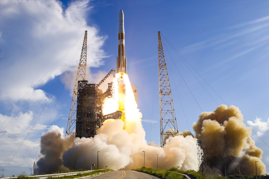
Rampa di lancio
Space Launch Complex 37B Map, Cape Canaveral SFS, FL, USA Wiki (USA)
Costellazione
Questo è il lancio numero 58 della costellazione Gps
- Lancio precedente: Atlas V 401 | GPS IIF-4 (USA-242)
- Lancio precedente: Delta IV M+(4,2) | GPS IIF-6 (USA-251)
Lanciatore
Dettagli
| Costruttore | United Launch Alliance Wiki Info |
| Fornitore servizi di lancio | United Launch Alliance Wiki Info |
| Primo volo | 2002-11-20 |
| Numero stadi | 2 |
| Altezza | 66,20 m |
| Diametro | 5,00 m |
| Peso al lancio | 292 t |
| Spinta al decollo | 4.200 kN |
| Capacità di carico | LEO: 11.920 kg GTO: 6.270 kg |
| Successi/Lanci totali | 15/15 (15 consecutivi) |
None
Video
- Unofficial Re-stream: ULA Launch Highlights for GPS IIF-5 on Delta IV Medium + 4.2 (Spaceflight Insider via youtube.com)
Ultimo aggiornamento: 2025-10-04T04:57:43 con AstronautiBOT 15.1 - Fonte: LaunchLibrary2 API