Video del “sorvolo” di Noctis Labyrinthus¹ realizzato da ESA combinando² le informazioni topografiche con le immagini raccolte da Mars Express.

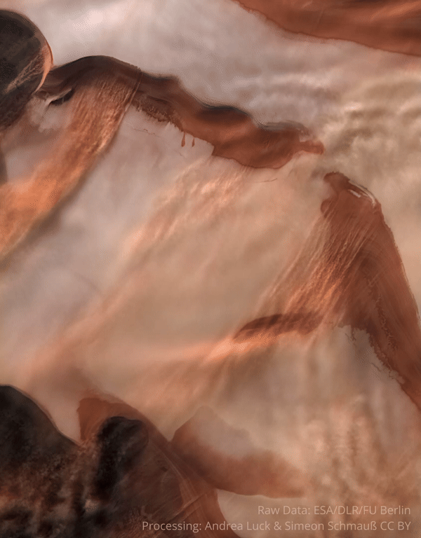
[1] "Nestled between the colossal martian ‘Grand Canyon’ (Valles Marineris) and the tallest volcanoes in the Solar System (the Tharsis region) lies Noctis Labyrinthus – a vast system of deep and steep valleys that stretches out for around 1190 km (roughly the length of Italy here on Earth). This video visualises a flight over the eastern part of Noctis Labyrinthus as seen by Mars Express’s High Resolution Stereo Camera (HRSC).
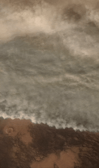
[2] The video was created using an image mosaic built over eight orbits (0442, 1085, 1944, 1977, 1988, 10497, 14632 and 16684) by ESA’s Mars Express and its HRSC. This mosaic is combined with topographic information from a digital terrain model to generate a three-dimensional landscape, with every second of the video comprising 50 separate frames rendered according to a pre-defined camera path. The opening credits (Mars globe, first 24 seconds) were created using the recent 20-year Mars global colour mosaic; this opening sequence has a three-fold vertical exaggeration, while the subsequent flight animation has a 1.5-fold exaggeration. Haze has been added to conceal the limits of the terrain model, and starts building up at distance of between 150 and 200 km. The video is centred at the martian coordinates of 7°S, 265°E.